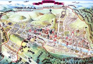
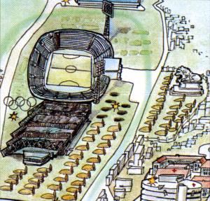
Emerging directly from the lived experience of the siege, this unique cartographic project documents the physical and social geography of survival in Sarajevo between 1992 and 1996. Combining first-hand testimonies with military maps and photographic records, it charts sniper zones, the altered urban landscape, water collection points, survival gardens, key sites, anti-sniper protection, improvised transport routes, and pedestrian passages. This hand-drawn map not only depicted but also redefined the understanding of life under siege.
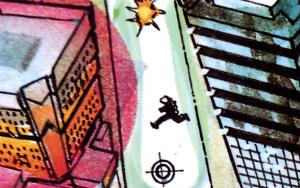
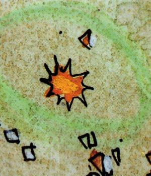
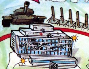
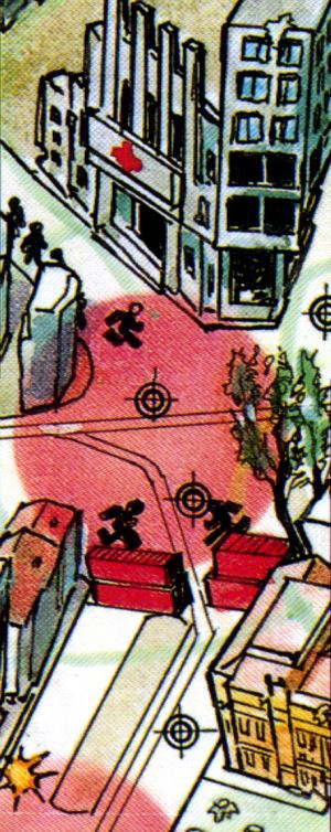
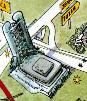
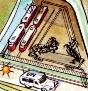
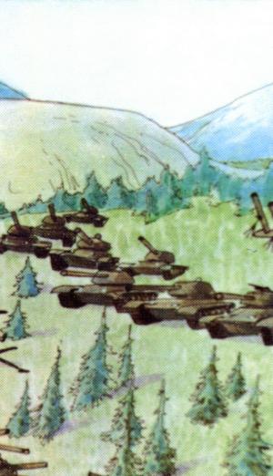
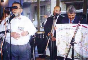
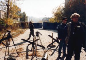
Various events in life draw out hidden talents in us, ones that might have seemed unnecessary under different circumstances. As both observers and participants in the phenomenon of a besieged city, we realised that by carefully observing what was happening, we could identify the needs of the time. That is how the map of the besieged city came to be. At one point, while trying to choose a route through the city, we realised how useful a precise map would be for navigating a city surrounded by hundreds of pieces of heavy and light weaponry, as well as a constant sniper presence. Instead of traffic signs, there were warnings like “Watch out for snipers” or “If you can see even a segment of the hill, the hill can see you” (since the snipers were in the hills, and Sarajevo lay in the valley). So we began to “record” the city: gardens, parks, danger zones, intersections, buildings, sniper shields, streets… and later transferred that data onto a hand-drawn map of the besieged city. The positions of weapons around Sarajevo were traced from an original Yugoslav National Army (JNA) map. Still, we soon realised that the map’s format wouldn’t allow for all the weaponry used to terrorise the city over four years to be shown. Therefore, on our map, the weapons were depicted symbolically. As a unique historical teaching tool, this map found its place in collections around the world. A single red line around the city explained, once and for all, what it means to be a “city under siege.”
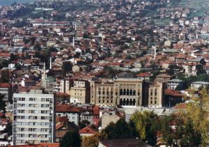
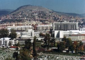
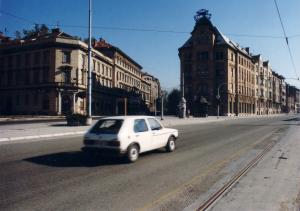
Among the many attempts to visualise history, this map stands out because of the uniqueness of Sarajevo’s experience: a European city at the end of the twentieth century found itself under the longest siege in the history of warfare. For four years, residents were unable to leave the city, which remained under the global media spotlight 24 hours a day.
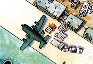
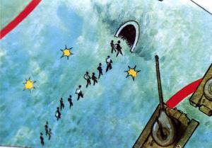
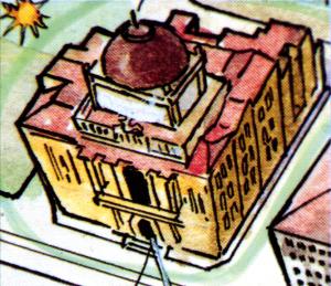
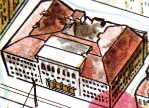
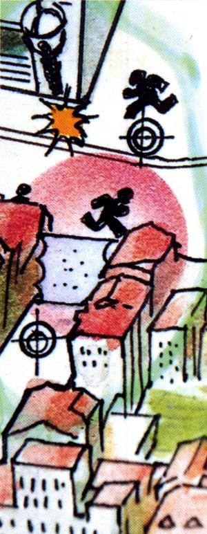
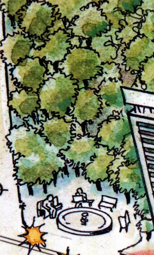
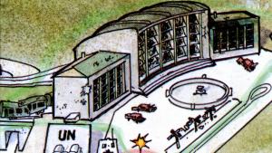
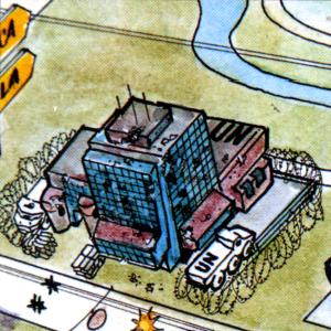
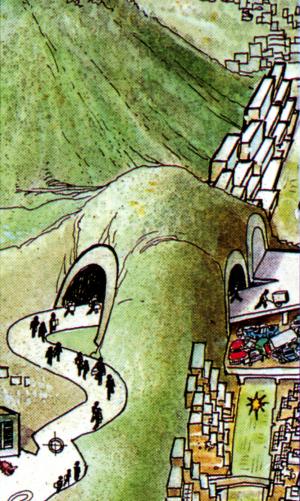
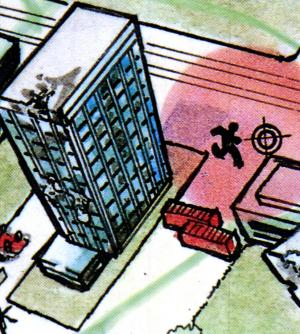
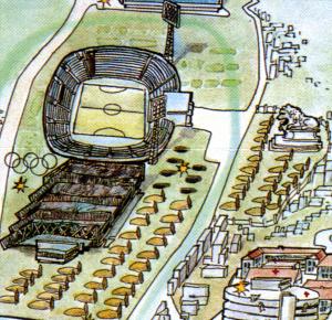
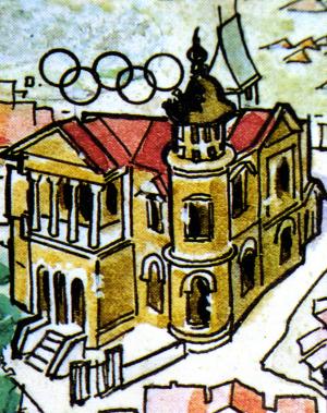
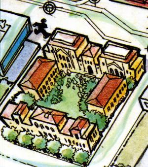
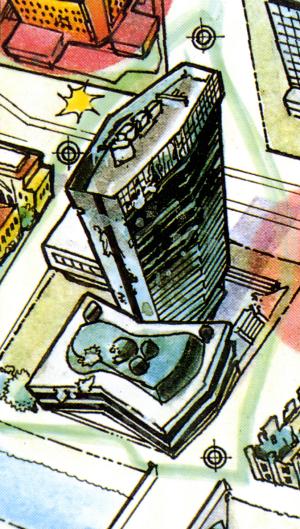
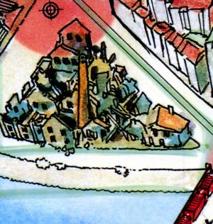
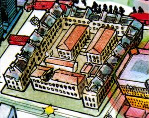
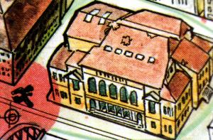
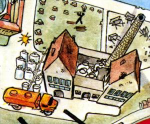
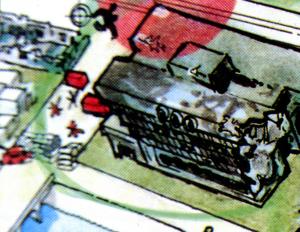
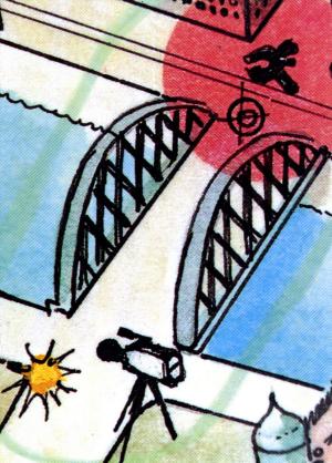
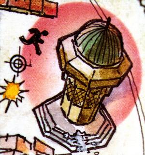
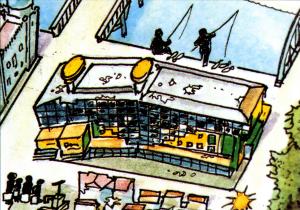
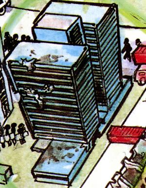
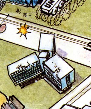
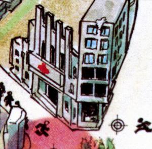
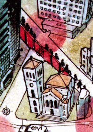
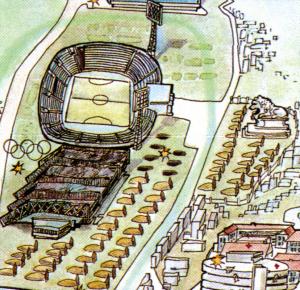
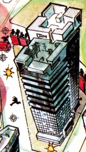
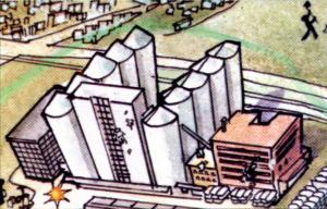
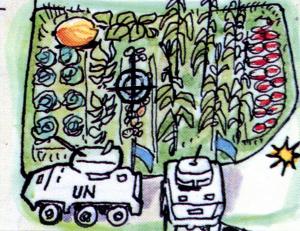
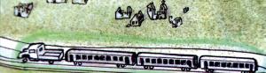
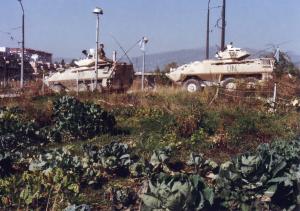
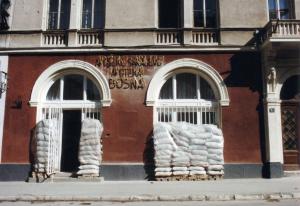
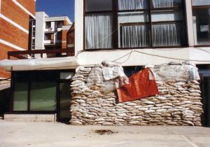
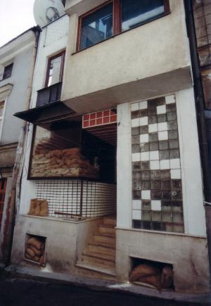
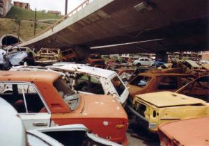
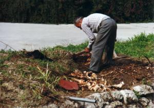
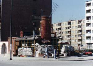
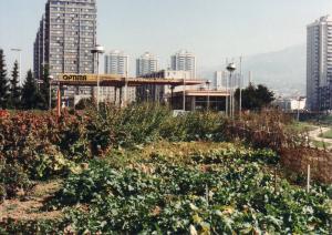
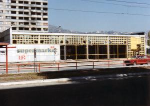
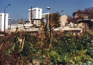
The Survival [Siege] Map was created based on documents and photographs taken during the blockade, in an effort to capture, within a single image, the transformed geography of a city cut off from the world, even as it remained under the global media’s gaze. The map is a testament to a city that survived by building an entirely new civilisation upon the ruins of the old, relying on recycling, solar energy, water purification tablets, and satellite communications. It details every aspect of survival and explains how key urban infrastructure adapted under siege. The map reveals hidden pathways, secret tunnels, and special movement corridors devised to escape constant sniper fire. It shows how parks became gardens, roses were replaced by corn, electricity by medieval lamps, central heating by handmade stoves, and running water by distant collection points accessed with canisters. Recreation became running under sniper fire; nutrition came from backyard crops; television was replaced by live conversation; and art became a form of resistance.
For future generations studying the siege and the fall of Yugoslavia, this map will provide essential insights into the city’s geography and the conditions shaped by its prolonged isolation.
Additional context
From the Survival Map editorial published in 1996:
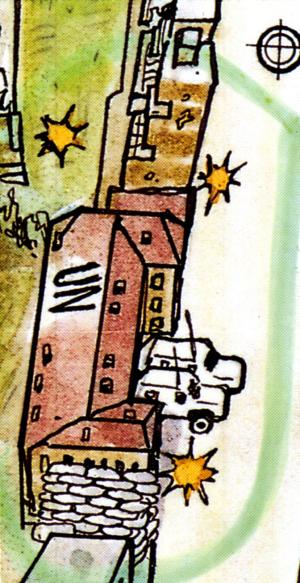
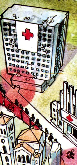
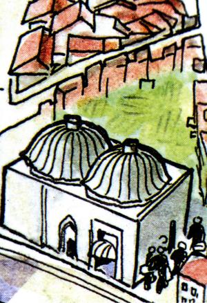
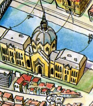
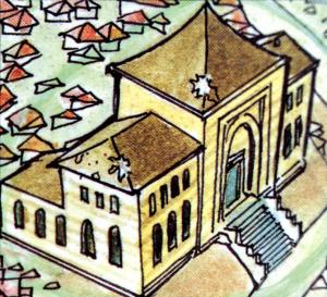
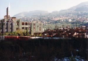
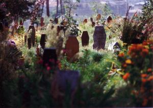
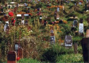
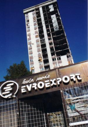
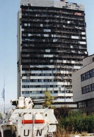
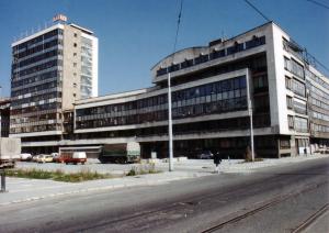
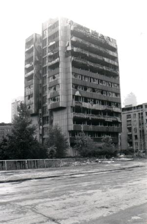
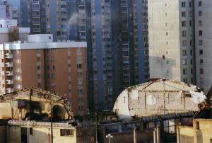
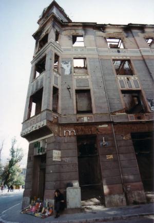
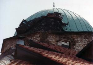
"The capital of Bosnia and Herzegovina, Sarajevo, was attacked on the 5th April 1992. The city in the Miljacka River valley is surrounded by mountains, where 260 tanks, 120 mortars, and a great number of smaller-calibre weapons were placed, pointed towards the city. The Yugoslav National Army, backed by local terrorists, encircled the city and began to tighten the noose around its 500,000 inhabitants. On the 2nd May 1992, the city was completely closed off. A part of it was occupied, while the part that could not be conquered was exposed to gunfire and artillery shells. Every day, the city was hit with 4,000 rounds whose targets included hospitals, museums, mosques, churches, schools, synagogues, libraries, the city maternity hospital, and queues for bread and water. The aggressor destroyed the main post office, and the water, electricity and gas lines were cut off. The food was soon gone. Cemeteries began to spread. On the 26th February 1996, the northern entrance to the city opened, releasing Vogošča and Ilijaš, and Sarajevo was officially declared an open city. After the Dayton Agreement and the arrival of IFOR, the aggressor started leaving the occupied areas of the city. They looted, burned and destroyed everything behind. On the 19th March 1996, the aggressor left Grbavica – the last city area to be returned to the B&H Government by the Dayton Peace Agreement. The siege lasted from the 2nd May 1992 to the 26th February 1996, or 1395 days – it was the longest siege in modern history."
Note:
All projects from the FAMA Collection have since demonstrated that this methodology is key to documenting events. If we want our effort to serve as a valuable contribution to the interpretation and understanding of the breakup of Yugoslavia during the period 1991–1999, and to the transmission of knowledge for both local and global education, this approach is essential.
| Theme | The Siege of Sarajevo 1992-1996 |
|---|---|
| Research period | 1992-1996 |
| Original Format | Full-colour printed map (B2 size), double-sided and folded for practical use. |
| Language | Bosnian / Croatian / Serbian and English. |
| Project content | Front side: a hand-drawn map of the Siege of Sarajevo, featuring key elements of siege conditions and survival in an urban environment. Reverse side: a descriptive legend highlighting 57 marked locations, buildings, and elements shown on the map. |
| Production | Sarajevo (1995-1996) |
| Note | The creation of this map, which has become an irreplaceable document of the Sarajevo siege, was made possible by the City of Barcelona. |